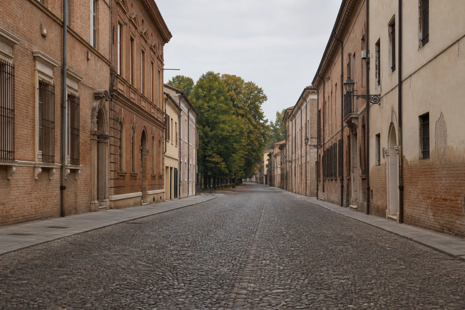
Start with a city built by additions
Ferrara is easier to understand as a sequence of additions than as a collection of monuments. UNESCO defines the World Heritage property as both the urban centre and adjoining agricultural lands in the old Po Delta. Within the city, defensive walls that enclosed the medieval centre were extended as Ferrara grew, while planning schemes from the fourteenth to the sixteenth centuries connected streets, palaces, churches, gardens and fortifications. That gives a future resident a useful first map: the castle and cathedral matter, but so do the changing street widths, green spaces and edges that reveal how the city expanded.
- Ferrara grew through linked urban additions
- The World Heritage property joins city and countryside
Find the old river in the street plan
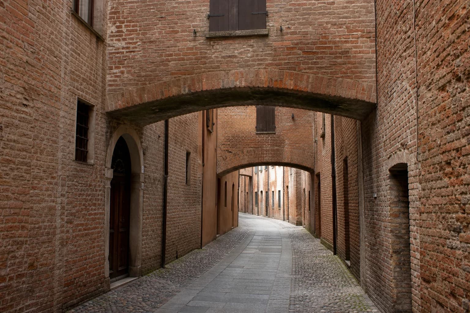
Begin south of the castle, where the street plan still remembers water. Emilia-Romagna’s official tourism guide identifies Via Ripagrande with the former bed of the Po Grande, which marked the city’s south-western limit until 1152. Nearby medieval development used parallel streets and regular plots, while the covered passages of Via delle Volte linked buildings across the narrow lane. These are not picturesque details floating outside daily life. They explain why this part of Ferrara feels long, narrow and interconnected, and why a short route through the old centre can tell you more than a single famous façade.
- Via Ripagrande preserves the line of the former Po Grande
- Via delle Volte reveals links between street and service buildings
Use Giovecca as the hinge
Viale Cavour and Corso della Giovecca form a useful hinge in the modern map. Until almost the end of the fifteenth century, this line marked Ferrara’s northern boundary. In 1492, Ercole I d’Este commissioned Biagio Rossetti to bring the large area beyond it inside the city, roughly doubling Ferrara’s surface. Cross that line and the older fabric gives way to the wider avenues, gardens and open spaces of the Addizione Erculea. For someone comparing addresses, this is practical orientation: two central streets can sit close together while belonging to very different chapters of the city’s design.
- Cavour and Giovecca mark the former northern edge
- The 1492 expansion roughly doubled the city’s area
Read the Addizione as a composition
In the Addizione Erculea, resist reading each palace in isolation. The Quadrivio degli Angeli, where two main axes cross, organized the expansion as a composition of streets, buildings and space. Palazzo dei Diamanti became its visual centre: the Ministry of Culture records that Biagio Rossetti designed it for Sigismondo d’Este, with construction beginning in 1493, and that more than 8,500 diamond-shaped marble blocks form its rusticated exterior. The numbers are memorable, but the planning lesson is more useful. Stand at the corner, look along both axes and notice how façade, intersection and long perspective were designed to work together.
- The Quadrivio organizes two principal axes
- Palazzo dei Diamanti works as part of the street composition
Make room for the green city
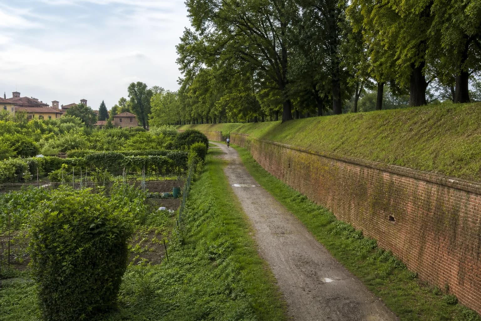
Open ground in northern Ferrara is part of the historical structure, not an unfinished gap. In the Addizione Erculea, the area between the Jewish cemetery and the Certosa is known as the “countryside within the walls”: about four hectares of fields, gardens and vegetable plots preserved from urban development for more than five centuries. A cycle path crosses it and connects with the tree-lined Mura degli Angeli. The wider wall circuit runs for almost nine kilometres around the city and now sits within green parkland used for walking and cycling. Together, these spaces show that density was never the only measure of the Renaissance plan.
- Four hectares of cultivated green space remain inside the walls
- The wall circuit is also a long everyday green corridor
Let the walls point beyond the centre
At the northern end of Corso Ercole I d’Este, Porta degli Angeli turns the city plan outward. The municipality describes the former watchtower and historic northern gateway as a hinge between the Addizione Erculea and the landscape toward the Po. UNESCO makes that relationship larger still: the World Heritage property joins Ferrara to a delta landscape reshaped through drainage, waterways, roads, estates and the Este country residences called delizie. You do not need to tour every residence to understand the point. The walls are an edge, but they are also an invitation to read the city and countryside as one connected project.
- Porta degli Angeli connects the avenue to the northern landscape
- Ferrara and its Po countryside form one cultural landscape
Sources and further reading
- Ferrara, City of the Renaissance, and its Po Delta — UNESCO World Heritage Centre
- Ferrara’s Medieval Waterways — Emilia-Romagna Tourism
- Visit Ferrara in Brief — Ferrara Terra e Acqua
- Ferrara’s Addizione Erculea — Emilia-Romagna Tourism
- Palazzo dei Diamanti — Italian Ministry of Culture
- Unusual Ferrara and the Countryside Within the Walls — Emilia-Romagna Tourism
- Ferrara’s Walls Route — Ferrara Terra e Acqua
- Porta degli Angeli Cultural Project — Comune di Ferrara